Loading ProInver...
Skip to main content
EXPERIENCE THAT CONNECTS

An integrated vision. An approachable team.

We connect technical specialties to support operators and contractors from subsurface assessment to field execution.

PROINVER IN PICTURES

Engineering, technology and fieldwork.

A look at the personnel, equipment and activities that form part of the working environment.

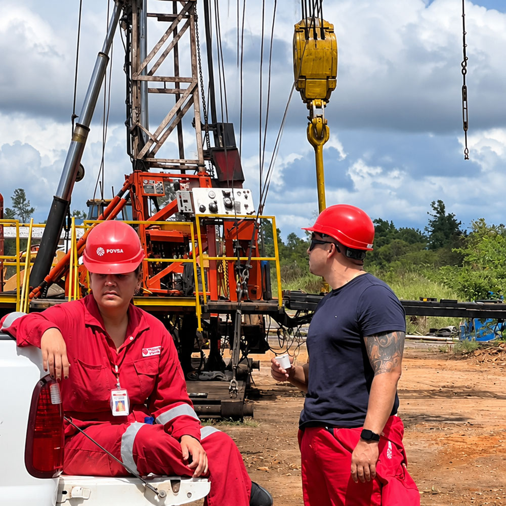
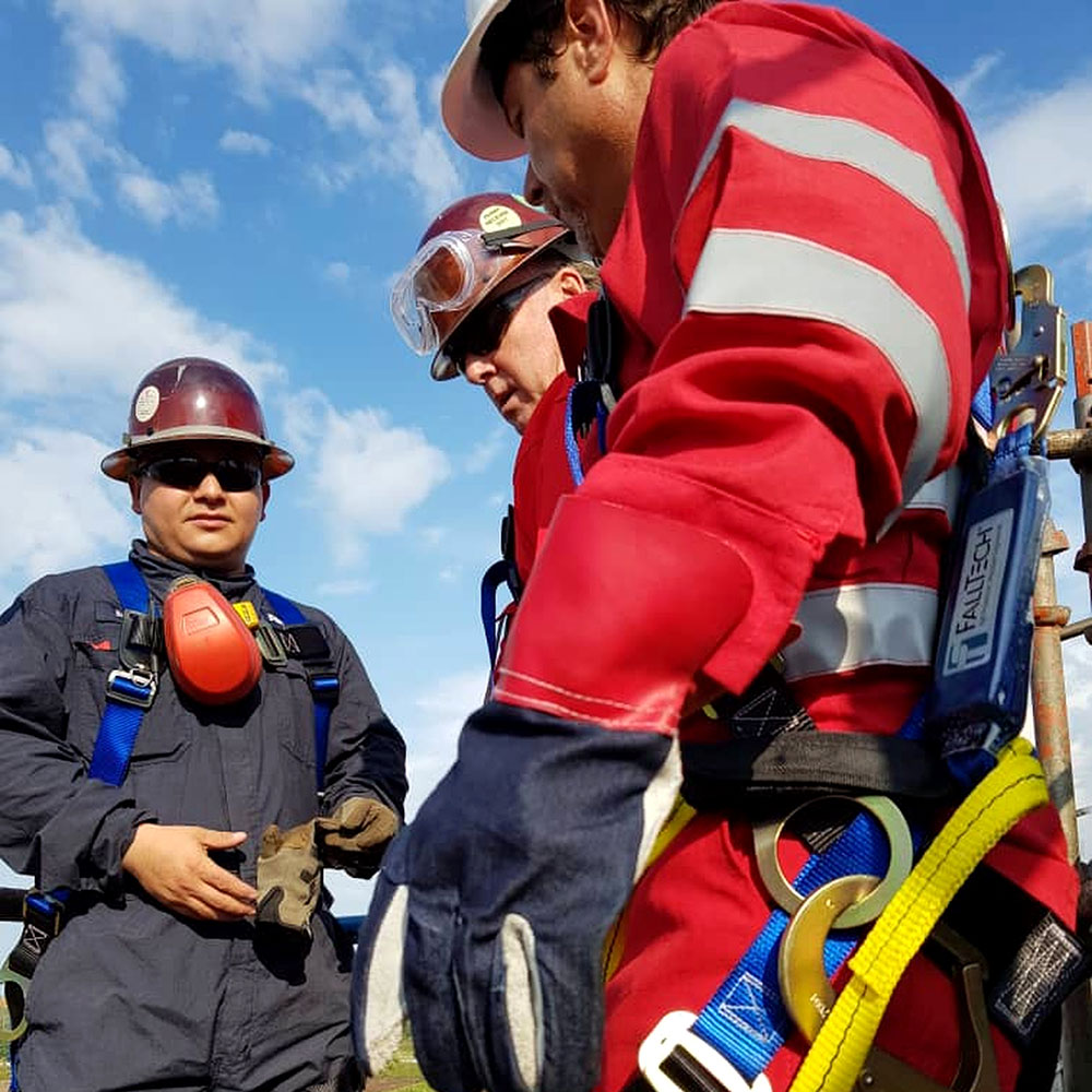
Personnel wearing hard hats and protective equipment in front of a structure and a lifting hook.
Field personnel and equipment
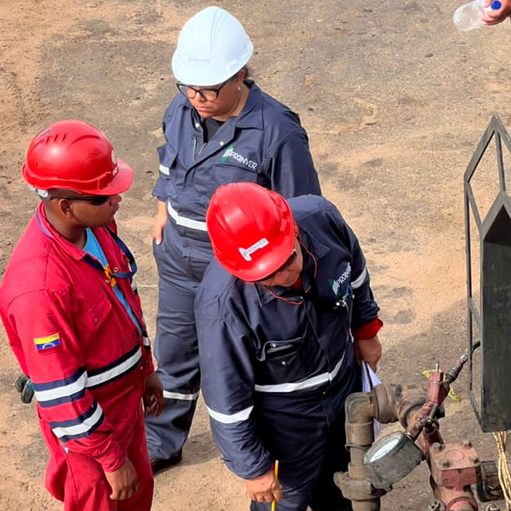
Personnel wearing hard hats examining a connection or equipment in the field.
Review of site conditions
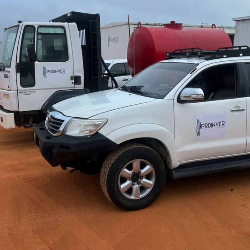
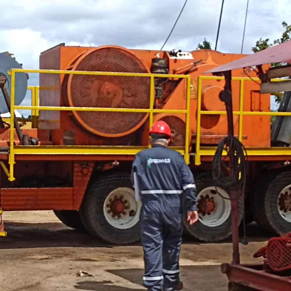
A pickup truck and a truck displaying the ProInver brand in an outdoor area.
Mobility for fieldwork
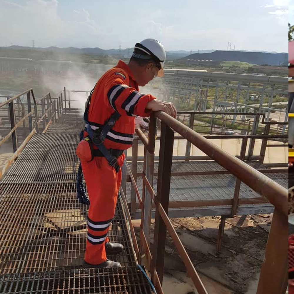
Personnel wearing protective equipment and harnesses during an outdoor activity.
Personnel protection and preparation
CORPORATE FOUNDATIONS

An integrated view of the value chain

We connect specialties and asset data to assess risks, coordinate technical work and support project decisions.

Our mission

Integrate geosciences and engineering to address project challenges, support operational efficiency and guide decisions with technical information.

  • Data-based subsurface assessments
  • Real-time production monitoring
  • Proactive well risk mitigation

Our vision

Be a benchmark for integrated services in the energy sector, with technical rigor, coordination across disciplines and a responsible approach to asset development.

  • Expansion and support across global basins
  • Continuous innovation in enhanced recovery
  • Long-term trusted partnerships

Our values

We work with technical rigor, professional ethics and responsibility in managing operational and environmental risks.

  • Multidisciplinary technical rigor
  • Environmental and social responsibility
  • Risk management and operational safety
MULTIDISCIPLINARY EXPERIENCE

Team experience that connects the subsurface with operations

Our team brings together more than 20 years of combined experience in geosciences, reservoir engineering and operations. We integrate subsurface analysis with production, fluid quality and environmental management needs, with offices in Venezuela and the United States.

Methodological approach: Seismic and dynamic data
Operating configuration: 2N+1 redundancy in critical systems
Service coverage: Integrated (subsurface + surface + quality)
ProInver Operations Reservoir Engineering
TRACK RECORD AND TECHNICAL EXPERIENCE

Proven experience in producing basins

Real intervention cases where data integration and field judgment generated direct value for the operator.

Eastern Basin · Orinoco Belt CASE 01

Diluent optimization in extra-heavy crude oil (8.2 °API)

Operational challenge: Excess 47 °API diluent in the blend for pipeline transport, creating daily cost overruns and bottlenecks in crude oil custody transfer measurement.

ProInver approach: Real-time fluid quality monitoring with a mobile laboratory, mass balance and rheological curves calibrated to pumping temperature.

Result: A 1.1 °API reduction in over-blending, optimizing more than 850 bbl/d of diluent while maintaining the pipeline specification (16 °API).
Lake Maracaibo Basin CASE 02

3D laser inspection and verticality assessment of 150,000 bbl tanks

Operational challenge: Suspected differential settlement and geometric deformation in cylindrical storage tanks after years of continuous service.

ProInver approach: Terrestrial 3D laser scanning and high-resolution UAV photogrammetry without personnel entering confined spaces, with API 653 ovality and verticality analysis.

Result: Millimeter-level mapping of deviations, settlement drawings for remaining-life calculations and technical certification for continued operation.
Northern Monagas · El Furrial CASE 03

Seismic inversion and bypassed-zone detection in a mature field

Operational challenge: Accelerated production decline in a naturally fractured reservoir with uncertainty about remaining undrained reserves.

ProInver approach: Petrophysical re-evaluation of key wells, post-stack seismic inversion and integrated 3D geological modeling to identify disconnected blocks.

Result: Identification of 3 zones with remaining hydrocarbons and a proposal for well re-entries supported by SPE-PRMS guidelines.
LET'S DISCUSS YOUR PROJECT

The next step starts with a conversation.

Tell us what your asset needs. Together, we define the scope and specialties to support it.

Operations WhatsApp