Service scope
Environmental management, documentation support for AOT, AARN and AOE permits, multispectral satellite remote sensing and bioremediation plans for legacy oil contamination. Scope and deliverables are defined according to asset conditions, available information and the project's technical requirements.
What you receiveEnvironmental and social baseline studies, remote sensing analysis and bioremediation plans.
Technical data sheet and parameters
- Environmental permit management
- AOT (land occupation), AARN and AOE (operations)
- Cartographic analysis scale
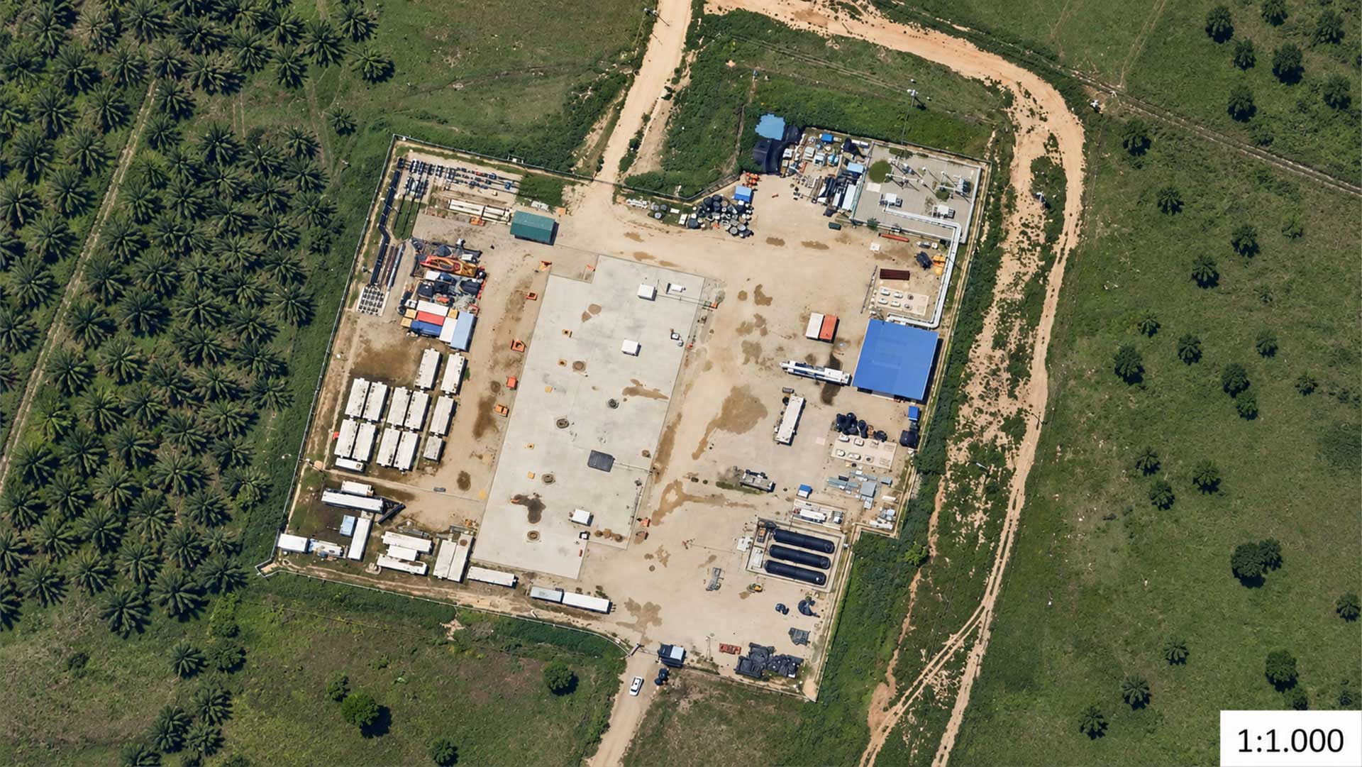
- Multispectral analysis at a cartographic scale of 1:1,000 (Sentinel / Landsat / Planet), depending on available information
- Environmental indicators
- Satellite analysis of leak, heat and vegetation vigor indicators (NDVI)
- Bioremediation
- In situ bacterial treatment; reference TPH reduction > 90%, subject to soil conditions
Specialties and field deliverables
- Environmental impact studies (EsIA): Preparation and technical defense of environmental and social baseline studies.
- Satellite sensors: Multitemporal detection of ground subsidence and monitoring of water bodies.
- Soil remediation: Agronomic restoration of areas affected by historical spills and operational pits.
Basins and fields for operational deployment
Anzoátegui and Monagas watersheds, Costa Oriental del Lago and Guárico operating areas.
The working environment in pictures
