Service scope
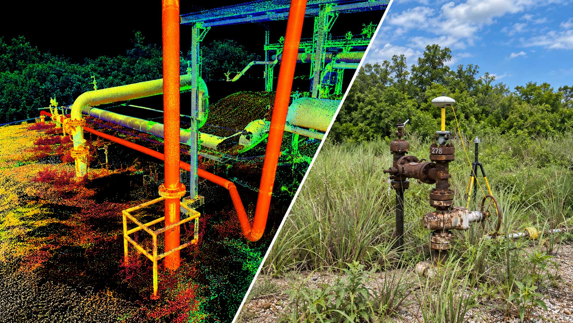
Mechanical integrity inspection, digital twins and volumetric surveying of industrial assets using aerial/terrestrial LiDAR sensors and high-precision photogrammetry. Scope and deliverables are defined according to asset conditions, available information and the project's technical requirements.
What you receivePoint clouds, BIM/CAD models and infrastructure verticality and roundness profiles.
Technical data sheet and parameters
- Capture accuracy
- Millimeter-level reference (< 5 mm) using GNSS RTK/PPK networks, depending on the survey configuration
- Tank reference standards
- API Standard 650 (design) and API Standard 653 (inspection)
- Integrated sensors
- Triple-return LiDAR, 45MP RGB cameras and FLIR thermography
- Technical deliverables
- Dense point cloud, BIM/CAD models, verticality and roundness profiles
Specialties and field deliverables
- LiDAR digital twins: Three-dimensional as-built modeling of refineries, compressor plants and tank farms.
- API 650/653 inspection: Support for assessing roundness, differential settlement and shell corrosion, with the capture method defined according to access conditions.
- Pipeline alignment: Geometric analysis to support identification of deformations and displacements in pipelines and rights-of-way.
Basins and fields for operational deployment
Puerto La Cruz and El Palito refineries, the Paraguaná Complex (Amuay), Ulé tank farms and San Félix - José pipelines.